


Lauziere refuge logis des Fées

c.gourme
User
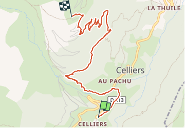

Length
4.8 km

Max alt
1838 m

Uphill gradient
576 m
Km-Effort
10.9 km

Min alt
1299 m

Downhill gradient
93 m
Boucle
No
Creation date :
2023-06-24 08:16:36.0
Updated on :
2023-06-24 11:14:36.207
2h31
Difficulty : Easy

FREE GPS app for hiking
 SityTrail
IGN / Geographical institutes
SityTrail Plus
The world is yours!
About
Trail Walking of 4.8 km to be discovered at Auvergne-Rhône-Alpes, Savoy, La Léchère. This trail is proposed by c.gourme.
Positioning
Country:
France
Region :
Auvergne-Rhône-Alpes
Department/Province :
Savoy
Municipality :
La Léchère
Location:
Celliers
Start:(Dec)
Start:(UTM)
297958 ; 5038788 (32T) N.
Comments